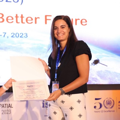
Federica Gaspari
President at Wikimedia Italia
Greater Novara Metropolitan Area Italy


Summary
👤
Senior🎓
Top SchoolFederica Gaspari is an environmental engineer and PhD candidate at Politecnico di Milano with eight years of experience applying GIS, photogrammetry, and remote sensing to infrastructure monitoring and disaster-related geospatial problems. She combines academic research on geomatic methods for bridge and landslide digital twins with hands-on field campaigns using drones, laser scanning and photogrammetric software. At Politecnico she teaches and tutors GIS and 3D surveying courses, mentors students in summer schools and coordinates open-source workflows (QGIS, QField, CloudCompare, Metashape) for local government projects. Federica has contributed to humanitarian mapping and quality assurance for OpenStreetMap and helped develop teaching material for climate-related disaster management in Africa, showing a strong interest in participatory mapping and spatial data infrastructures. Her profile blends rigorous technical skills with outreach and communication experience from cultural and editorial roles, revealing an ability to translate complex geospatial data into practical, stakeholder-focused solutions. Currently she is contributing to the TWINFALL project on digital twins of landslides while continuing visiting research collaborations in European geomatics labs.
 8 years of coding experience
 2 years of employment as a software developer
 Master Degree Genie Civil - Sciences de la terre et des planètes, Master Degree Genie Civil - Sciences de la terre et des planètes at Université Grenoble AlpesDiploma Piano Nazionale Informatica, Diploma Piano Nazionale Informatica at Liceo Scientifico Enrico Fermi AronaMaster degree Environmental and Land Planning Engineering Monitoraggio e Diagnostica Ambientale, Master degree Environmental and Land Planning Engineering Monitoraggio e Diagnostica Ambientale at Politecnico di MilanoSummer School, Summer School at University of BathSummer School, Summer School at Manhattan University
 Italian, English, French, German, Spanish

Github Skills (34)
potree9
point-cloud9
qgis7
openstreetmap7
webgl7
geotools7
gis7
qgis-processing6
joml6
geospatial5
pyqgis5
bim4
ios4
gltf4
linux4
Programming languages (5)
Github contributions (5)
Tars4815/Tars4815
Oct 2021 - Jun 2026
Contributions:9 pushes, 1 branch in 4 years 9 months
Tars4815/30DayMapChallenge
Oct 2021 - Nov 2022
A repository with a collection of personal contributions to the #30DayMapChallenge by tjukanovt
Contributions:76 commits, 2 PRs, 64 pushes in 1 year 1 month
mapopenstreetmap
Find and Hire Top DevelopersWe’ve analyzed the programming source code of over 60 million software developers on GitHub and scored them by 50,000 skills. Sign-up on Prog,AI to search for software developers.